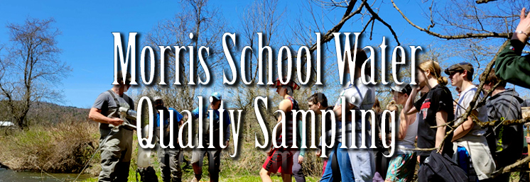
This summer we partnered with Kathryn White, a SUNY ESF student to develop a comprehensive ArcGIS StoryMap.
This StoryMap is designed to showcase who we are, what we do, and the resources available to watershed partners. Explore USC’s collaborative approach to conservation and learn more about our technical teams, programs, tools, projects, and partnerships across the Upper Susquehanna watershed. The StoryMap highlights the expertise and resources available through USC and its member Soil and Water Conservation Districts, providing a convenient starting point for finding information and connecting with conservation professionals. Whether you are a landowner, partner, educator, or community member, the StoryMap offers an engaging way to learn more about USC.
View the StoryMap here, or click this link to view the full-sized map.